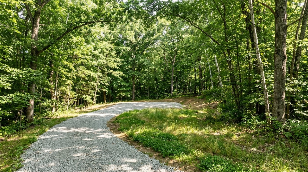
Buying land in the Finger Lakes can feel exciting right up until you realize how much a simple walk on a parcel can miss. A pretty view, open frontage, or a quiet road does not tell you where the wet ground starts, whether access is fully documented, or how buildable the site really is. If you want to walk land parcels like a pro, you need a process that starts before your boots hit the ground and continues with the right questions afterward. Let’s dive in.
Start With Parcel Research
Before you walk any land parcel in Ontario County or the wider Finger Lakes area, start with the paper trail. Ontario County’s OnCOR and Parcel Snapshot tools can help you gather a first-pass view of tax parcels, maps, surveys, assessments, soils, owner history, and aerial imagery. That gives you a much clearer picture of what you are about to see in person.
Just as important, Ontario County notes that its mapping data is for general reference only. That means online maps should guide your questions, not replace a survey or official records. If a parcel looks promising, you still need to confirm details through the proper sources.
County land records matter too. Ontario County Clerk record searches can help uncover deeds, easements, and other recorded filings that may affect how you access or use a property. For land buyers, this can be one of the most important early steps because a beautiful parcel is far less useful if access or restrictions create major hurdles.
What to Review Before a Walk
- Tax parcel maps
- Available surveys
- Deed records
- Easements or rights-of-way
- Zoning information
- Soil layers
- Flood map information
- Assessment and tax references
- Aerial imagery
Ontario County GIS resources also make it easier to compare parcel data with flood and soil layers. The county’s Map Center includes tax maps, zoning maps, county and municipal maps, and recreation-related maps. This kind of desktop review can save you time and help you avoid walking a parcel with unrealistic expectations.
Read the Land in Person
Once you are on the property, shift from screen mode to site mode. Your goal is to understand not just what the land looks like, but how it functions. A strong parcel walk looks beyond views and acreage to study terrain, drainage, and access.
Start with legal and physical access. You want to see where the parcel is entered from the road, whether the route makes practical sense for a driveway, and whether any terrain issues could increase improvement costs. In many cases, the best building area is not obvious from the road frontage alone.
Pay close attention to changes in slope. Ontario County includes a wide range of settings, from lakeside communities such as Canandaigua and Geneva to more varied terrain like South Bristol, where ridges rise sharply above valleys. That variety means two parcels with similar acreage can offer very different building conditions.
What to Look for on the Ground
- Driveway approach options
- Steep slope changes
- Wet spots or standing water
- Ditches and culverts
- Stone walls or fence lines
- Old field edges
- Obvious cut or fill areas
- Stream, pond, or shoreline features
Water movement deserves extra attention. Ontario County’s stormwater information notes that runoff can carry sediment and pollutants, and that failing septic systems can contribute to water quality issues. In simple terms, where water wants to go on a parcel often tells you a lot about how easy or costly it may be to improve.
Check Buildability Early
One of the biggest land-buying mistakes is assuming that open space automatically means easy building. In reality, buildability depends on several moving parts, including soils, septic options, access, setbacks, utility availability, and environmental constraints. That is why early fact-finding matters so much.
Soil information is a great starting point. The NRCS Web Soil Survey is the official free source for soil data and related resource information. Soil mapping can help you ask better questions about drainage and where a house site or septic system might reasonably fit.
Ontario County’s planning exploratory tools are also useful because they can highlight features such as wetlands, farmland, and historic sites that may affect what can be done on a parcel. Even if a limitation does not stop a project entirely, it can change where and how you build. That can affect both cost and timeline.
Buildability Questions to Ask
- Where is the best potential building envelope?
- Are there wetlands or adjacent regulated areas?
- Do soils suggest drainage challenges?
- Is there enough usable area after setbacks?
- Could topography limit driveway placement?
- Are there signs that septic placement may be difficult?
Understand Wells and Septic
Utilities vary a lot across Finger Lakes land parcels. Some parcels may be near public infrastructure, while many rural properties depend on private wells and on-site septic systems. You should never assume utility conditions based on nearby homes alone.
Ontario County Public Health says private wells are the owner’s responsibility and recommends regular testing. The New York State Department of Health advises testing private well water at least once a year for bacteria and every three to five years for other contaminants. If you are considering a parcel that will rely on a well, that should be part of your planning from the start.
Wastewater is just as important. Ontario County operates sewer districts in the Canandaigua Lake and Honeoye Lake areas, but many rural parcels still rely on septic systems. If a parcel does not connect to public sewer, septic suitability becomes a major pre-offer and pre-closing question.
In some lake-area cases, Ontario County’s Septic System Replacement program may help eligible projects with grants covering up to 50 percent of eligible costs, capped at $10,000. Even so, buyers should treat septic condition and replacement potential as core due diligence items, not afterthoughts.
Watch for Environmental Limits
Parcels near water can be especially appealing in the Finger Lakes, but they often come with additional layers of review. If land is near a shoreline, stream, wetland, or pond, you may need to consider New York DEC rules before making plans for grading, fill, stabilization, docks, or structures. That is one reason a waterfront or water-adjacent parcel should always be reviewed carefully before you assume a site is ready for development.
Flood risk is another key checkpoint. FEMA’s Flood Map Service Center is the official public source for flood hazard information, and Ontario County GIS resources connect users to flood mapping tools as part of the research process. Checking flood information before a showing or offer can help you avoid costly surprises later.
Agricultural district status can matter too, especially if you are looking at open acreage or land with hobby farm potential. Ontario County’s Consolidated Agricultural District 1 spans many towns and villages and is reviewed on a set cycle, with annual enrollment requests accepted during a defined period each year. That status can shape expectations around farmland use and nearby agricultural activity.
Ask Better Questions
A smart land purchase often comes down to asking the right people the right questions at the right time. If the parcel story feels incomplete, your next step is not guesswork. It is confirmation.
For a surveyor, focus on boundaries and access. Ask where the exact corners and monuments are, whether there are discrepancies or encroachments, and whether any easements, rights-of-way, or restrictions affect the driveway or building envelope. Ontario County is clear that GIS data is not a substitute for a site survey, so survey confirmation matters whenever details are uncertain.
For local officials, ask about zoning district, setbacks, subdivision history, permit needs, and whether the parcel could trigger county planning review. Ontario County Planning Board review can apply in certain referred actions, including some zoning changes, site plans, special use permits, variances, and subdivisions, especially for parcels within 500 feet of certain features or boundaries.
Who to Ask About What
- Surveyor: corners, monuments, encroachments, easements, access
- Town or village code official: zoning, setbacks, permits, subdivision history
- Ontario County Public Health or NYSDOH Geneva: wells and on-site wastewater
- New York DEC: wetlands, streams, shoreline or waterbody questions
Think Beyond the Parcel Lines
The right parcel is not always the one with the biggest view or the lowest price per acre. It is the one that fits how you actually plan to live, build, or invest. That means looking at the land itself and the larger setting around it.
Ontario County’s community and map resources show just how much variety exists across the Finger Lakes. You can find lakeside settings, rural farmland areas, creek and outlet communities, and more suburban locations. That range gives buyers options, but it also means each parcel should be evaluated in the context of commute time, services, recreation, and seasonal access.
When you walk a parcel, take note of what surrounds it. Notice road conditions, nearby land uses, distance to daily needs, and how the location fits your long-term goals. Those details help turn a parcel from an interesting listing into a practical decision.
Walk Land With a Clear Process
If you want to walk Finger Lakes land parcels like a pro, use a simple sequence. Research first, walk second, verify third. That approach helps you focus on the parcels that truly fit your goals and avoid costly surprises after you fall in love with a view.
At Griffith Realty Group, local knowledge matters because land is never just land in the Finger Lakes. Terrain, water, access, utilities, and municipal review can vary widely from one parcel to the next. If you want practical guidance as you explore available land in Ontario County and the surrounding region, reach out to Griffith Realty Group for a confidential consultation.
FAQs
What should you research before walking a Finger Lakes land parcel?
- You should review parcel maps, deed records, surveys, easements, zoning information, soil data, flood map references, aerial imagery, and general tax parcel information before visiting the property.
What should you look for while walking a land parcel in Ontario County?
- You should look for access, possible driveway routes, slope changes, wet spots, culverts, ditches, stone walls, old field edges, and any signs of drainage or grading issues.
Why do soils matter when buying Finger Lakes land?
- Soil data can help you ask better questions about drainage, septic suitability, and where a home site may fit on the parcel.
How do wells and septic affect rural land parcels in the Finger Lakes?
- Many rural parcels rely on private wells and on-site septic systems, so buyers should confirm utility realities early and ask appropriate local officials about water and wastewater considerations.
Who should you contact about zoning or land-use questions in Ontario County?
- You should contact the relevant town or village code official for zoning, setbacks, permits, and subdivision history, and ask county or state agencies when the issue involves planning review, wells, septic, wetlands, or streams.